The sample needs no account. This guide is in English; game languages vary.
Actual Austria gameplay. No mock-up.
Your learning route
Bundesländer, Alpine valleys and east-west orientation
Austrian regional practice and Alpine travel preparation.
Short rounds. Immediate feedback.
The practice habit of Duolingo. The map challenge of GeoGuessr.
GuessTheDot brings those two ideas together: short, playful rounds that help you place real cities, villages and landmarks. One name, one map, immediate feedback.
What does each practice format offer?
Feature
GuessTheDotThe combination for geography
DuolingoLanguage lessons
GeoGuessrClassic
Short practice sessions
✓
✓
✓
Immediate answer feedback
✓
✓
✓
Geography map gameplay
✓
—
✓
Practise named cities and villages
✓
—
—
Infer locations from Street View
—
—
✓
Adaptive language lessons
—
✓
—
Free access and extras
Free demo and base game. Account for villages; Pro for extras.
Free language lessons; paid subscriptions for extras.
Limited free version; Pro for broader access.
On a small screen, scroll the table horizontally.
Practise cities and villages on the map.
Want to remember where a city or village is? Practise connecting its name to its location. Choose a country, start with big cities and build a more detailed mental map. GeoGuessr Classic suits discovering locations through street imagery; Duolingo suits practising languages.
About this comparison
The table compares Duolingo language lessons, GeoGuessr Classic and the current GuessTheDot map quiz. Other games or products from these companies are outside its scope. The combination describes the practice format; GuessTheDot does not offer an equivalent adaptive language curriculum or Street View game.
Guess the city. Guess the village. Place the landmark.
Three rounds. The real Austria game.
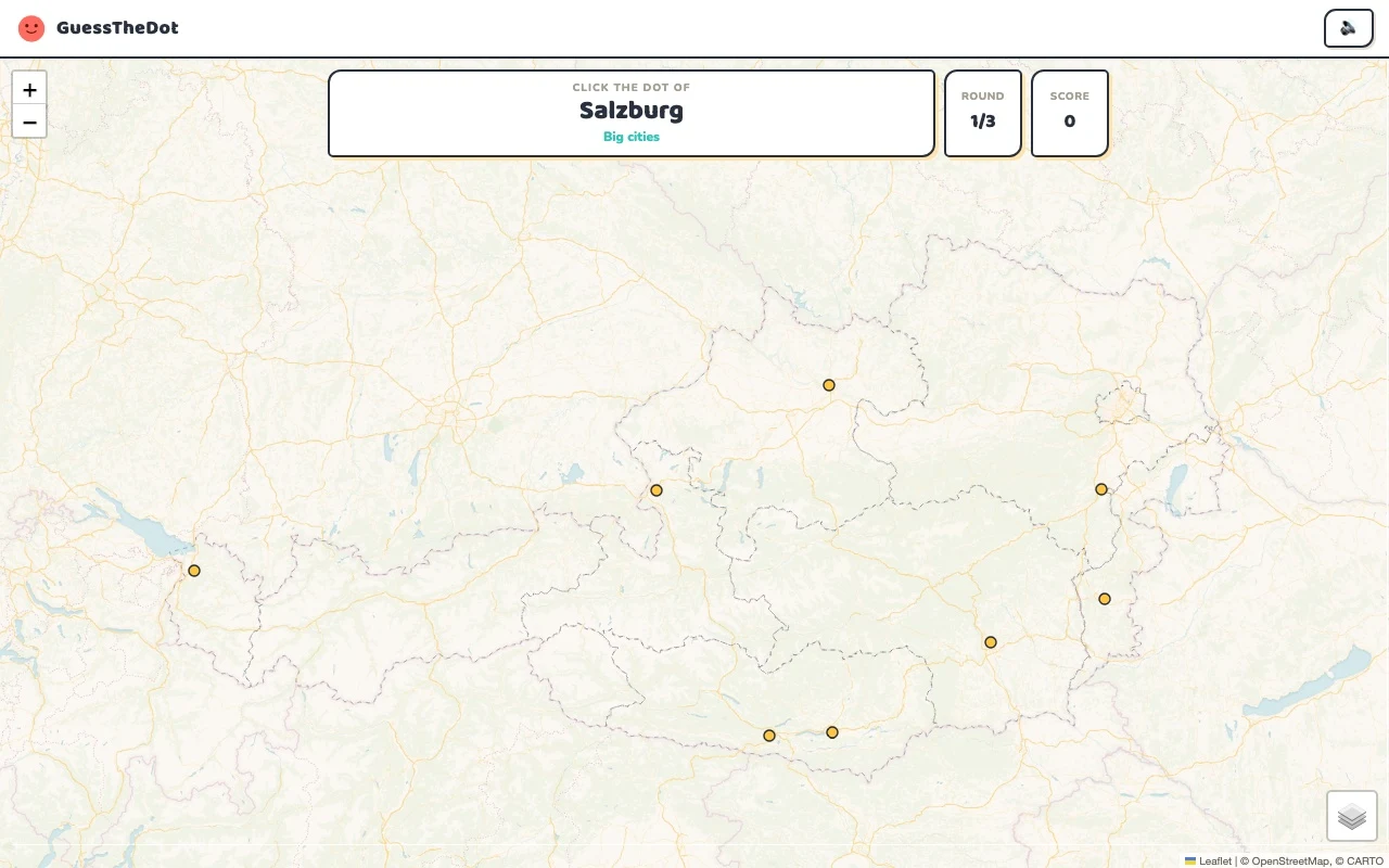
This is the actual GuessTheDot solo game, already set up for three big-city rounds in this country. Choose a map dot, see the real answer feedback and play the next round. Continue in the app when you want a full game.
Three rounds drawn from the country’s big-city dataset. No timer: take your time.
Play the real game3 rounds · no account
The actual map, dots and feedback. Preconfigured for three rounds.
Vienna, Graz and Innsbruck create different reference points. Austria’s east-west shape makes those relationships useful before you choose an exact dot. Distinguish the broader state from its capital city: a question about Salzburg as a city is not a question about every possible place in the state of Salzburg.
02
The valley matters for local places
Liezen gives you a smaller-scale question in Styria. First place the broad area, then compare its location with Graz rather than assuming they are close because the region label matches. Mountain geography can make a visually short distance a poor guide to a real journey; the quiz trains position rather than estimates driving times.
03
Mountains can cross your administrative shortcut
Grossglockner is a strong geographical anchor, but boundary-area landmarks can inherit one region label in the underlying data. Use the coordinates and source record instead of treating that single label as the complete story. The sightseeing mode can then turn a famous mountain name into a place you can recognise on the map.
Existing in-game content
Start with places that anchor the map.
State of Vienna
Vienna
An eastern capital reference.
48.209°, 16.372°
From the existing place guide
Vienna is the capital, most populous city, and one of the nine states of Austria. It is Austria's primate city, with just over two million inhabitants.
Graz (früher auch Gratz, Grätz, Bairisch[-]Grätz, Bayrisch[-]Grätz oder Grätz in Steyr) ist die Landeshauptstadt der Steiermark und eine Großstadt im Süden Österreichs.
Liezen ist eine Stadt mit 8081 Einwohnern im Steirischen Ennstal und Sitz der Bezirkshauptmannschaft des Bezirks Liezen, des flächenmäßig größten Bezirks Österreichs.
The Großglockner, or just Glockner, is, at 3,798 metres above the Adriatic (12,461 ft), the highest mountain in Austria and highest mountain in the Alps east of the Brenner Pass. It is part of the larger Glockner Group of the Hohe Tauern range, situated along the main ridge of the Central Eastern Alps and the Alpine divide. The Pasterze, Austria's most extended glacier, lies on the Grossglockner's eastern slope.
Contrast a capital landmark with the mountain setting.
48.206°, 16.365°
From the existing place guide
The Hofburg is the former principal imperial palace of the Habsburg dynasty in Austria. Located in the center of Vienna, it was built in the 13th century by Ottokar II of Bohemia and expanded several times afterwards. It also served as the imperial winter residence, as Schönbrunn Palace was the summer residence. Since 1946, it has been the official residence and workplace of the president of Austria.
The Österreichische Galerie Belvedere is a museum housed in the Belvedere palace, in Vienna, Austria. The Belvedere palaces were the summer residence of Prince Eugene of Savoy (1663–1736). The ensemble was built in the early eighteenth century by the famous Baroque architect Johann Lucas von Hildebrandt, and comprises the Upper and Lower Belvedere, with the Orangery and Palace Stables, as well as extensive gardens.
Guide extracts retain their source wording and may use a different language. Wikipedia/Wikivoyage text is available under CC BY-SA; Wikidata factual data is CC0. Individual source links are above.
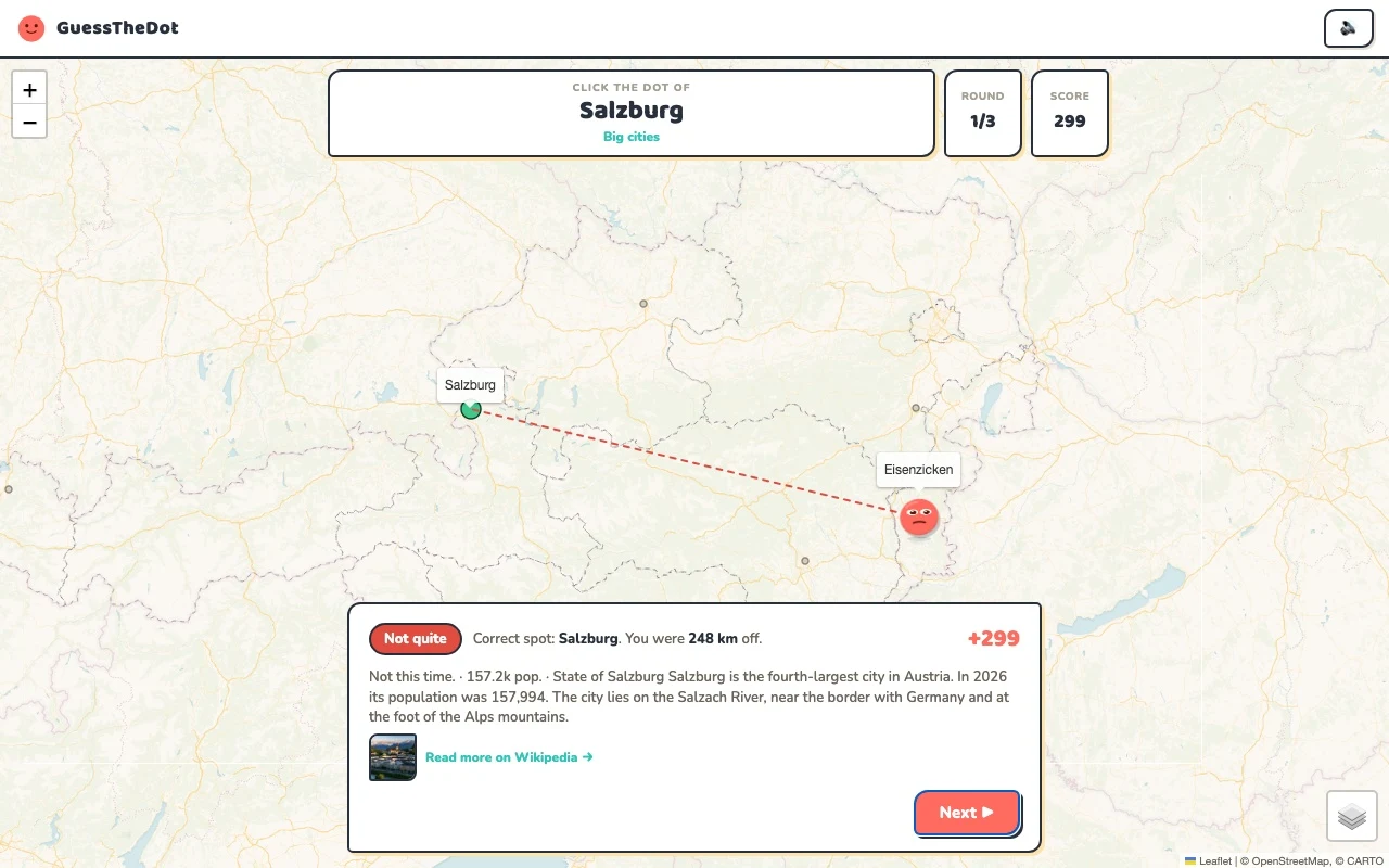
Real answer feedback from the same country practice session.
Choose your next practice
Make the map more detailed.
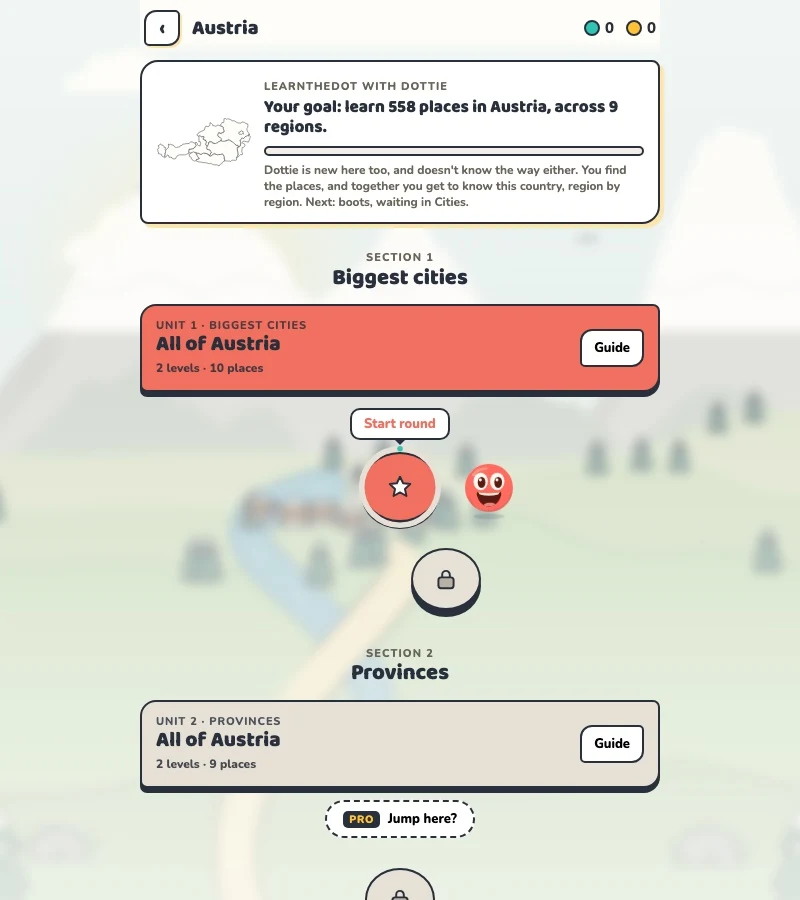
The current dataset contains 558 place records and 781 distinct sightseeing names. These are dataset counts, not a claim to cover every settlement or attraction.
No. It asks you to recognise geographical positions. Mountains, passes and transport routes can make travel distances very different from distances on the map.