Learn Belgium across linguistic and regional boundaries. Place Gent, a smaller Ardennes-area town and a Brussels landmark without confusing names, provinces and regions.
The sample needs no account. This guide is in English; game languages vary.
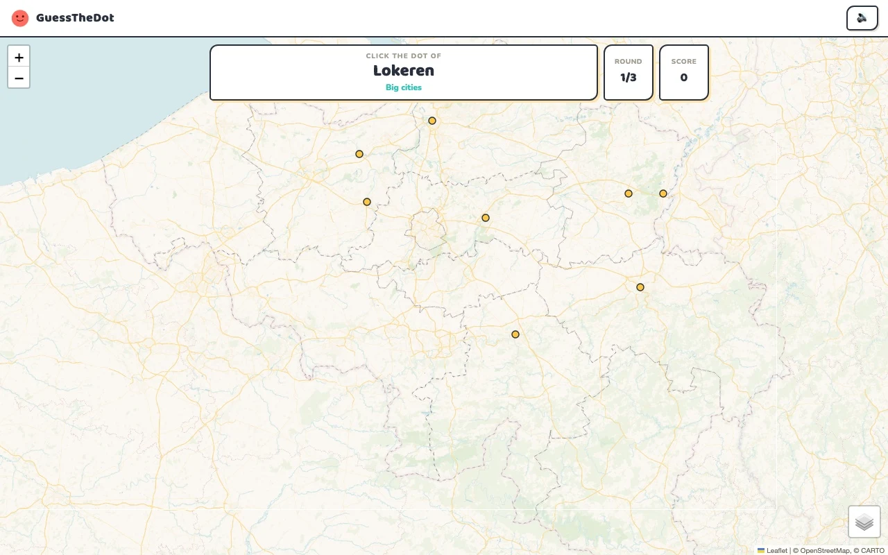
Actual Belgium gameplay. No mock-up.
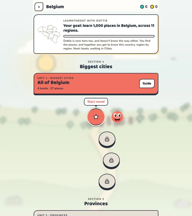
Your learning route
Multilingual place names and region/province distinctions
Belgian local geography and cross-language place recognition.
Short rounds. Immediate feedback.
The practice habit of Duolingo. The map challenge of GeoGuessr.
GuessTheDot brings those two ideas together: short, playful rounds that help you place real cities, villages and landmarks. One name, one map, immediate feedback.
What does each practice format offer?
Feature
GuessTheDotThe combination for geography
DuolingoLanguage lessons
GeoGuessrClassic
Short practice sessions
✓
✓
✓
Immediate answer feedback
✓
✓
✓
Geography map gameplay
✓
—
✓
Practise named cities and villages
✓
—
—
Infer locations from Street View
—
—
✓
Adaptive language lessons
—
✓
—
Free access and extras
Free demo and base game. Account for villages; Pro for extras.
Free language lessons; paid subscriptions for extras.
Limited free version; Pro for broader access.
On a small screen, scroll the table horizontally.
Practise cities and villages on the map.
Want to remember where a city or village is? Practise connecting its name to its location. Choose a country, start with big cities and build a more detailed mental map. GeoGuessr Classic suits discovering locations through street imagery; Duolingo suits practising languages.
About this comparison
The table compares Duolingo language lessons, GeoGuessr Classic and the current GuessTheDot map quiz. Other games or products from these companies are outside its scope. The combination describes the practice format; GuessTheDot does not offer an equivalent adaptive language curriculum or Street View game.
Guess the city. Guess the village. Place the landmark.
Three rounds. The real Belgium game.
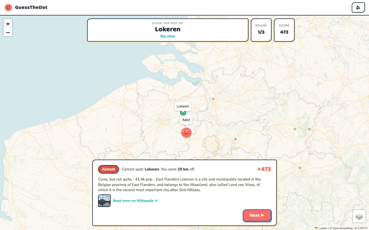
This is the actual GuessTheDot solo game, already set up for three big-city rounds in this country. Choose a map dot, see the real answer feedback and play the next round. Continue in the app when you want a full game.
Three rounds drawn from the country’s big-city dataset. No timer: take your time.
Play the real game3 rounds · no account
The actual map, dots and feedback. Preconfigured for three rounds.
Brussel and Brussels refer to the same capital; Gent and Ghent are not two different cities. The game’s labels follow its place dataset and selected language. Start with the location and use variants as bridges, rather than silently replacing one language with another on a supposedly local page.
02
Keep the administrative levels separate
Flanders, Wallonia and the Brussels-Capital Region are not the same level as the provinces printed on many place records. Use a province as a practical clue, then locate the town. The underlying dataset has limitations, so a label should not be presented as an authoritative guide to Belgian administration.
03
Learn beyond a Brussels day trip
Durbuy changes the scale of the challenge compared with Gent or Antwerpen. Landmarks can provide another way into the map: the Atomium, Tournai Cathedral and Signal de Botrange belong to different contexts. The country is compact enough that close alternatives can be harder than a simple north-south choice.
Existing in-game content
Start with places that anchor the map.
Brussel
Brussel
An anchor with several language variants.
50.850°, 4.349°
Oost-Vlaanderen
Gent
Connect a Flemish city to its location.
51.050°, 3.717°
From the existing place guide
Gand, est une ville belge néerlandophone, située en Région flamande au confluent de la Lys et de l'Escaut. Elle est le chef-lieu de la province de Flandre-Orientale et depuis 1559 le siège de l'évêché de Gand.
The Atomium (ə-TOH-mee-əm) is a landmark modernist building in Brussels, Belgium, originally constructed as the centrepiece of the 1958 Brussels World's Fair (Expo 58).
The Cathedral of Our Lady, or Tournai Cathedral, is a Roman Catholic cathedral, see of the Diocese of Tournai in Tournai, Belgium. It has been classified both as a Wallonia major heritage site since 1936 and as a World Heritage Site since 2000.
Contrast a natural high point with the major cities.
50.502°, 6.093°
From the existing place guide
Signal de Botrange is the highest point in Wallonia and Belgium, located in the High Fens (Hautes Fagnes in French, Hohes Venn in German, Hoge Venen in Dutch), at 694 metres (2,277 feet). It is the top of a broad plateau and a road crosses the summit, passing an adjacent café. It is also the highest point in the Ardennes and in the European part of the Benelux. For several decades a meteorological station was installed at Signal de Botrange.
Guide extracts retain their source wording and may use a different language. Wikipedia/Wikivoyage text is available under CC BY-SA; Wikidata factual data is CC0. Individual source links are above.
Real answer feedback from the same country practice session.
Choose your next practice
Make the map more detailed.
The current dataset contains 2,643 place records and 379 distinct sightseeing names. These are dataset counts, not a claim to cover every settlement or attraction.
The game supports both interface languages, but place-name coverage depends on the dataset and its translations. This page does not promise a complete bilingual register.