The sample needs no account. This guide is in English; game languages vary.
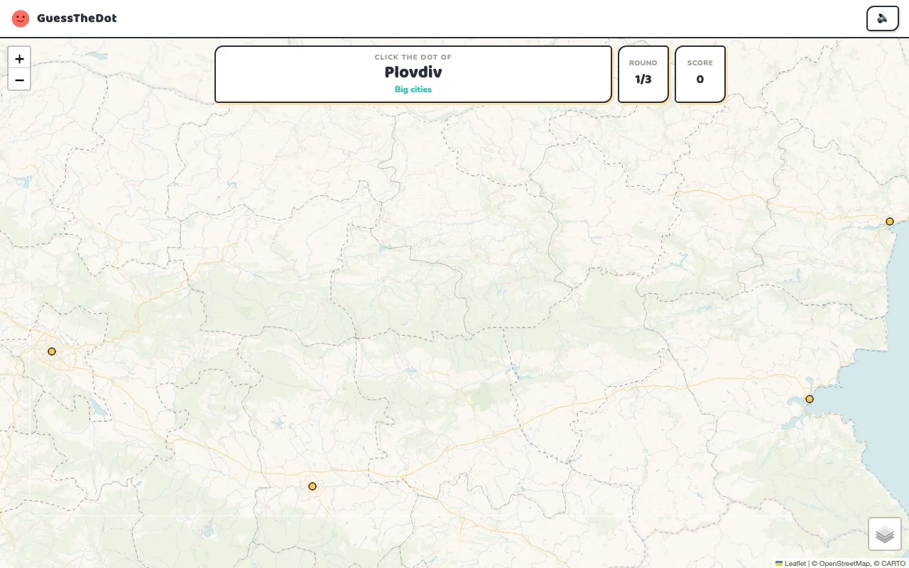
Actual Bulgaria gameplay. No mock-up.
Your learning route
Mountain/interior/coast contrasts and Cyrillic transliteration
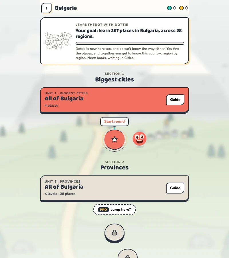
Bulgarian locality practice and cultural travel preparation.
Short rounds. Immediate feedback.
The practice habit of Duolingo. The map challenge of GeoGuessr.
GuessTheDot brings those two ideas together: short, playful rounds that help you place real cities, villages and landmarks. One name, one map, immediate feedback.
What does each practice format offer?
Feature
GuessTheDotThe combination for geography
DuolingoLanguage lessons
GeoGuessrClassic
Short practice sessions
✓
✓
✓
Immediate answer feedback
✓
✓
✓
Geography map gameplay
✓
—
✓
Practise named cities and villages
✓
—
—
Infer locations from Street View
—
—
✓
Adaptive language lessons
—
✓
—
Free access and extras
Free demo and base game. Account for villages; Pro for extras.
Free language lessons; paid subscriptions for extras.
Limited free version; Pro for broader access.
On a small screen, scroll the table horizontally.
Practise cities and villages on the map.
Want to remember where a city or village is? Practise connecting its name to its location. Choose a country, start with big cities and build a more detailed mental map. GeoGuessr Classic suits discovering locations through street imagery; Duolingo suits practising languages.
About this comparison
The table compares Duolingo language lessons, GeoGuessr Classic and the current GuessTheDot map quiz. Other games or products from these companies are outside its scope. The combination describes the practice format; GuessTheDot does not offer an equivalent adaptive language curriculum or Street View game.
Guess the city. Guess the village. Place the landmark.
Three rounds. The real Bulgaria game.
This is the actual GuessTheDot solo game, already set up for three big-city rounds in this country. Choose a map dot, see the real answer feedback and play the next round. Continue in the app when you want a full game.
Three rounds drawn from the country’s big-city dataset. No timer: take your time.
Play the real game3 rounds · no account
The actual map, dots and feedback. Preconfigured for three rounds.
Sofia and Plovdiv help you begin in the interior; Varna and Burgas add Black Sea references. Compare the positions before asking a smaller-place question. A coast-versus-inland distinction is only the first step: the exact dot still matters when several possible answers sit in the same broad part of Bulgaria.
02
Connect a smaller town to a region
Tryavna gives you a local example in the Gabrovo-area records. Keep its position connected to the country framework rather than memorising the name alone. This English edition uses the transliterated names available in the dataset; it does not promise complete Cyrillic place-name coverage or a Bulgarian game interface.
03
Use cultural and natural sights together
Boyana Church belongs to the Sofia context, while Musala and Pirin National Park add mountain references. Sightseeing practice is useful when you recognise the names but cannot yet locate them. Each example links to its stored source so that the map exercise can lead to more detailed cultural information.
Existing in-game content
Start with places that anchor the map.
Sofia-Capital
Sofia
An inland capital anchor.
42.697°, 23.324°
From the existing place guide
Sofia is the capital and largest city of Bulgaria. It is situated in the Sofia Valley at the foot of the Vitosha mountain, in the western part of the country.
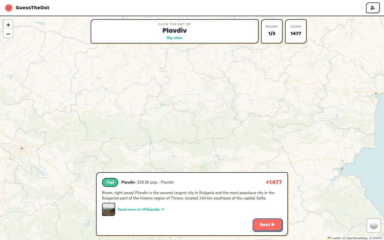
Plovdiv is the second-largest city in Bulgaria and the most populous city in the Bulgarian part of the historic region of Thrace, located 144 km southeast of the capital Sofia.
The Boyana Church is a medieval Bulgarian Orthodox church situated on the outskirts of Sofia, the capital of Bulgaria, in the Boyana quarter. In 1979, the building was added to the UNESCO World Heritage List.
Musala (from Arabic through Ottoman Turkish: from Musalla, "near God" or "place for prayer") is the highest peak in the Rila Mountains, as well as in Bulgaria and the entire Balkan Peninsula, standing at 2,925.42 metres (9,597.8 ft). With a topographic prominence of 2,473 metres (8,114 ft), Musala is also the 6th highest peak by topographic prominence in mainland Europe.
Connect a natural destination to its own part of the map.
41.672°, 23.488°
From the existing place guide
Pirin National Park, originally named Vihren National Park, covering the larger part of the Pirin Mountains in southwestern Bulgaria, spanning an area of 403.56 square kilometers (155.82 mi2). It is one of the three national parks in the country, the others being Rila National Park and Central Balkan National Park. The park was established in 1962 and its territory was expanded several times since then.
Guide extracts retain their source wording and may use a different language. Wikipedia/Wikivoyage text is available under CC BY-SA; Wikidata factual data is CC0. Individual source links are above.
Real answer feedback from the same country practice session.
Choose your next practice
Make the map more detailed.
The current dataset contains 267 place records and 332 distinct sightseeing names. These are dataset counts, not a claim to cover every settlement or attraction.