The sample needs no account. This guide is in English; game languages vary.
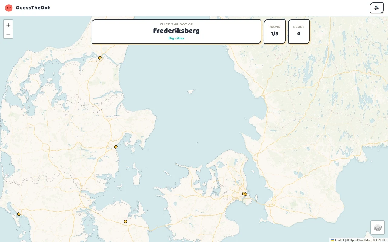
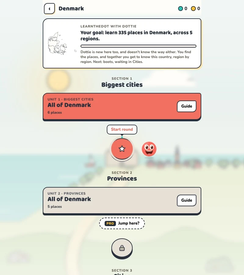
Actual Denmark gameplay. No mock-up.
Your learning route
Jutland/Funen/Zealand distinctions; scope beyond the kingdom name
Danish locality recognition and trips beyond Copenhagen.
Short rounds. Immediate feedback.
The practice habit of Duolingo. The map challenge of GeoGuessr.
GuessTheDot brings those two ideas together: short, playful rounds that help you place real cities, villages and landmarks. One name, one map, immediate feedback.
What does each practice format offer?
Feature
GuessTheDotThe combination for geography
DuolingoLanguage lessons
GeoGuessrClassic
Short practice sessions
✓
✓
✓
Immediate answer feedback
✓
✓
✓
Geography map gameplay
✓
—
✓
Practise named cities and villages
✓
—
—
Infer locations from Street View
—
—
✓
Adaptive language lessons
—
✓
—
Free access and extras
Free demo and base game. Account for villages; Pro for extras.
Free language lessons; paid subscriptions for extras.
Limited free version; Pro for broader access.
On a small screen, scroll the table horizontally.
Practise cities and villages on the map.
Want to remember where a city or village is? Practise connecting its name to its location. Choose a country, start with big cities and build a more detailed mental map. GeoGuessr Classic suits discovering locations through street imagery; Duolingo suits practising languages.
About this comparison
The table compares Duolingo language lessons, GeoGuessr Classic and the current GuessTheDot map quiz. Other games or products from these companies are outside its scope. The combination describes the practice format; GuessTheDot does not offer an equivalent adaptive language curriculum or Street View game.
Guess the city. Guess the village. Place the landmark.
Three rounds. The real Denmark game.
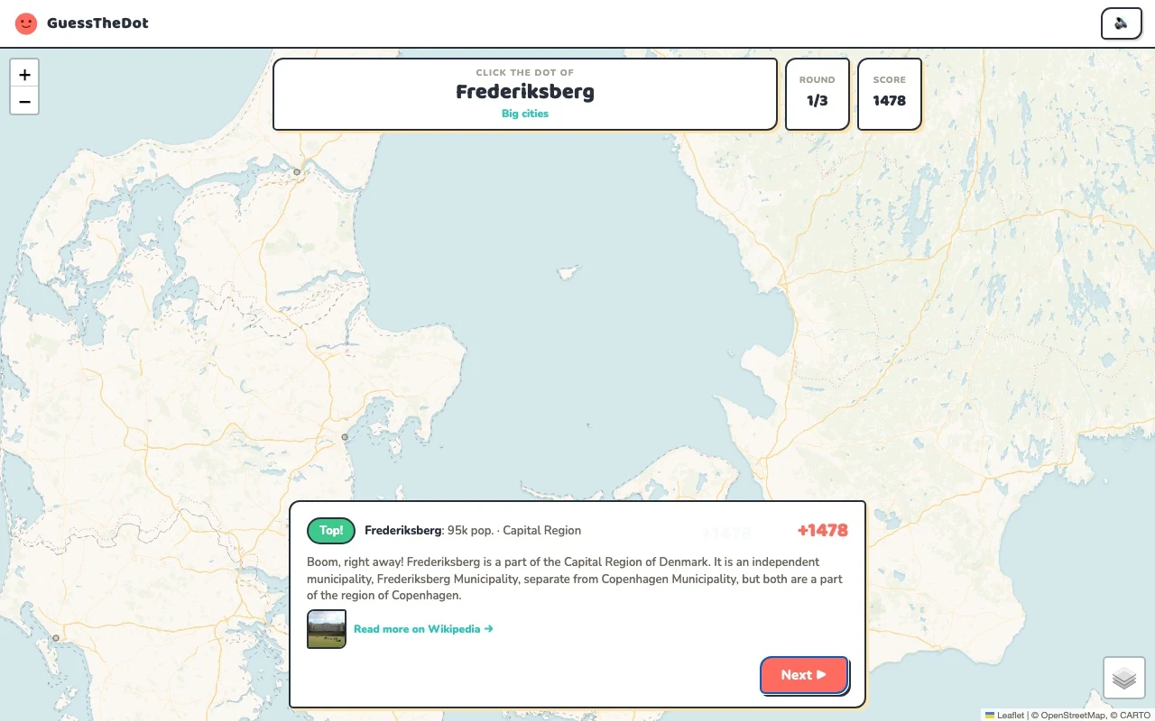
This is the actual GuessTheDot solo game, already set up for three big-city rounds in this country. Choose a map dot, see the real answer feedback and play the next round. Continue in the app when you want a full game.
Three rounds drawn from the country’s big-city dataset. No timer: take your time.
Play the real game3 rounds · no account
The actual map, dots and feedback. Preconfigured for three rounds.
Copenhagen, Odense and Aalborg are useful because they sit in different parts of the map. Learn the distinction between Jutland, Funen and Zealand before moving to smaller places. The introductory map is Denmark itself; it does not silently fold Greenland or the Faroe Islands into the same country exercise.
02
Make the smaller-town question specific
Thisted adds a northwestern Jutland example. Use the coast and a larger-city reference, then decide which dot fits. A place in our village tier can still be locally described as a town; the categories are difficulty groupings based on the available population data rather than a Danish legal classification.
03
Find the castle, not just the island
Kronborg Castle introduces a more precise task on Zealand. Knowing the island gives you a starting point, but not the exact answer. Compare the castle with natural island references such as Bornholm or Funen in the sightseeing data, then choose a regional game when the national view feels too broad.
Existing in-game content
Start with places that anchor the map.
Capital Region
Copenhagen
A capital anchor on Zealand.
55.676°, 12.566°
From the existing place guide
Copenhagen (Danish: København [kʰøpm̩ˈhɑwˀn] ) is the capital and most populous city of Denmark, with an urban population of 1.4 million.
Thisted er en købstad og havneby ved Limfjorden med 13.535 indbyggere (2026), beliggende i Thy. Byen er centrum i Thisted Kommune, der er en del af Region Nordjylland.
Kronborg is a castle and historical stronghold in the town of Helsingør, Denmark. Immortalised as Elsinore in William Shakespeare's play Hamlet, Kronborg is one of the most important Renaissance castles in Northern Europe. It was inscribed on the UNESCO World Heritage List in 2000.
Keep an offshore island distinct from the mainland.
55.125°, 14.917°
From the existing place guide
Bornholm is a Danish island in the Baltic Sea, to the east of the rest of Denmark, south of Sweden, northeast of Germany and north of Poland. Strategically located, Bornholm has been fought over for centuries. It has usually been ruled by Denmark, but also by Sweden and by Lübeck. The ruin of Hammershus, at the northwestern tip of the island, is the largest medieval fortress in northern Europe, testament to the importance of its location.
Funen is the third-largest island of Denmark, after Zealand and Vendsyssel-Thy, with an area of 3,099.7 square kilometres (1,196.8 sq mi). It is the 165th-largest island in the world. It is located in the central part of the country and has a population of 469,947 as of 2020. Funen's main city is Odense, which is connected to the sea by a rarely-used canal. The city's shipyard, Odense Steel Shipyard, has been relocated outside Odense proper.
Guide extracts retain their source wording and may use a different language. Wikipedia/Wikivoyage text is available under CC BY-SA; Wikidata factual data is CC0. Individual source links are above.
Real answer feedback from the same country practice session.
Choose your next practice
Make the map more detailed.
The current dataset contains 335 place records and 324 distinct sightseeing names. These are dataset counts, not a claim to cover every settlement or attraction.