Connect Cork, a harbour town and an ancient monument. Use the map to recognise the places behind Irish travel routes, county names and familiar stories.
The sample needs no account. This guide is in English; game languages vary.
Actual Ireland gameplay. No mock-up.
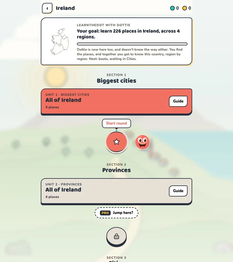
Your learning route
Republic dataset versus whole-island tourism; provinces versus counties
Irish local geography and travellers connecting east and west.
Short rounds. Immediate feedback.
The practice habit of Duolingo. The map challenge of GeoGuessr.
GuessTheDot brings those two ideas together: short, playful rounds that help you place real cities, villages and landmarks. One name, one map, immediate feedback.
What does each practice format offer?
Feature
GuessTheDotThe combination for geography
DuolingoLanguage lessons
GeoGuessrClassic
Short practice sessions
✓
✓
✓
Immediate answer feedback
✓
✓
✓
Geography map gameplay
✓
—
✓
Practise named cities and villages
✓
—
—
Infer locations from Street View
—
—
✓
Adaptive language lessons
—
✓
—
Free access and extras
Free demo and base game. Account for villages; Pro for extras.
Free language lessons; paid subscriptions for extras.
Limited free version; Pro for broader access.
On a small screen, scroll the table horizontally.
Practise cities and villages on the map.
Want to remember where a city or village is? Practise connecting its name to its location. Choose a country, start with big cities and build a more detailed mental map. GeoGuessr Classic suits discovering locations through street imagery; Duolingo suits practising languages.
About this comparison
The table compares Duolingo language lessons, GeoGuessr Classic and the current GuessTheDot map quiz. Other games or products from these companies are outside its scope. The combination describes the practice format; GuessTheDot does not offer an equivalent adaptive language curriculum or Street View game.
Guess the city. Guess the village. Place the landmark.
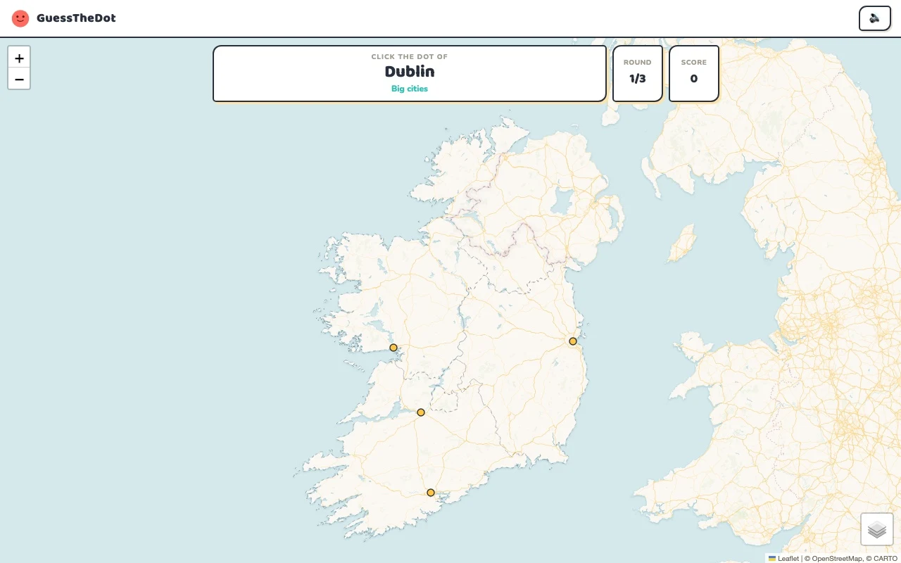
Three rounds. The real Ireland game.
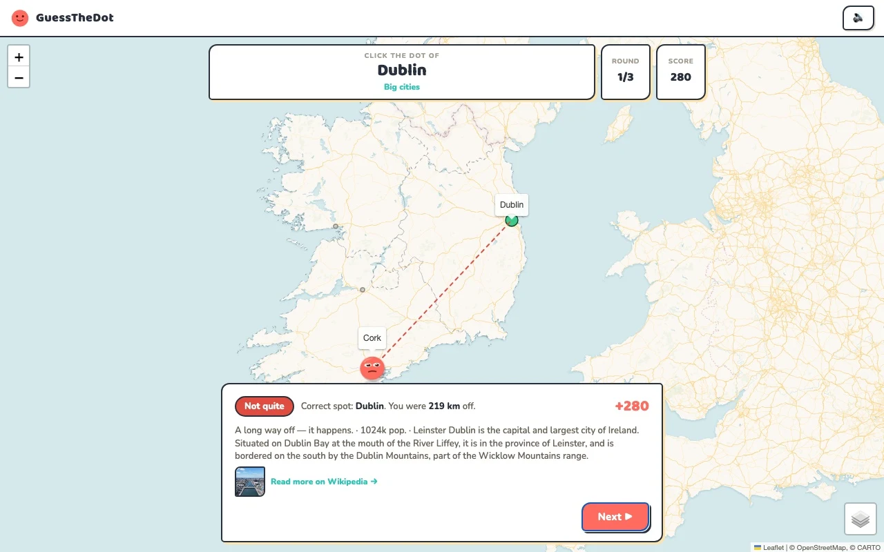
This is the actual GuessTheDot solo game, already set up for three big-city rounds in this country. Choose a map dot, see the real answer feedback and play the next round. Continue in the app when you want a full game.
Three rounds drawn from the country’s big-city dataset. No timer: take your time.
Play the real game3 rounds · no account
The actual map, dots and feedback. Preconfigured for three rounds.
The IE game dataset covers the Republic of Ireland. Tourism Ireland discusses the whole island, including Northern Ireland, which is a different scope. This sample does not present Belfast as an IE city. That distinction matters more than a decorative outline when you want a reliable map-learning tool.
02
A province label is not a county lesson
The game’s Irish records currently use broad province labels such as Munster and Leinster. Cork and Cobh give a concrete southern comparison; Dublin provides an eastern anchor. The page therefore does not advertise itself as a complete county quiz. A county-focused lesson needs county data and a separate quality check.
03
Connect travel stories to actual locations
Newgrange adds an Ancient East reference, while Skellig Michael gives a southwestern one. Recognising the names in a guidebook is different from choosing their dots on a map. Use the sightseeing mode to practise that connection, then focus on a region or city when nearby alternatives become the interesting challenge.
Existing in-game content
Start with places that anchor the map.
Leinster
Dublin
An eastern capital reference.
53.333°, -6.249°
From the existing place guide
Dublin is the capital and largest city of Ireland.
A southern anchor in the Munster-labelled records.
51.898°, -8.471°
From the existing place guide
Cork is the second-largest city in the Republic of Ireland, the county town of County Cork, the largest city in the province of Munster and the third-largest on the island of Ireland.
Newgrange is a prehistoric monument in County Meath in Ireland, placed on a rise overlooking the River Boyne, eight kilometres (five miles) west of the town of Drogheda. It is an exceptionally grand passage tomb built during the Neolithic Period, around 3100 BC, making it older than Stonehenge and the Egyptian pyramids.
Skellig Michael, also called Great Skellig, is a twin-pinnacled crag 11.6 kilometres (7.2 mi) west of the Iveragh Peninsula in County Kerry, Ireland. The island is named after the archangel Michael; while "Skellig" is derived from the Irish language word sceilig, meaning a splinter of stone. Its twin island, Little Skellig (Sceilig Bheag), is smaller and inaccessible.
Dublin Castle is a major Irish government complex, conference centre, and tourist attraction. It is located off Dame Street in central Dublin. Originally a motte-and-bailey castle chosen for its position at the highest point of central Dublin, it was mostly rebuilt, from the late 17th century onward, as a Georgian palace.
Guide extracts retain their source wording and may use a different language. Wikipedia/Wikivoyage text is available under CC BY-SA; Wikidata factual data is CC0. Individual source links are above.
Real answer feedback from the same country practice session.
Choose your next practice
Make the map more detailed.
The current dataset contains 226 place records and 290 distinct sightseeing names. These are dataset counts, not a claim to cover every settlement or attraction.
No. The IE dataset covers the Republic and uses broad province labels in its current place records. This page does not claim to teach all-island counties.