Build a Dutch map that reaches beyond Amsterdam and Rotterdam. Connect provinces, small places and sights through the locations you actually practise in the game.
The sample needs no account. This guide is in English; game languages vary.
Actual Netherlands gameplay. No mock-up.
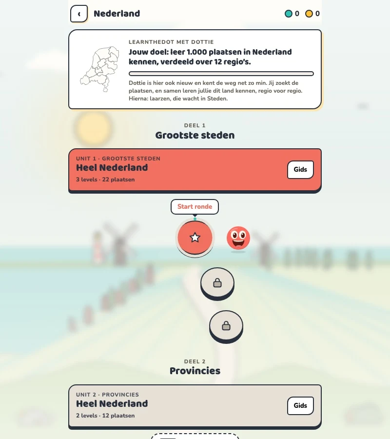
Your learning route
Provinces, dense local geography and historic city status
Dutch topo practice, local knowledge and classroom games.
Short rounds. Immediate feedback.
The practice habit of Duolingo. The map challenge of GeoGuessr.
GuessTheDot brings those two ideas together: short, playful rounds that help you place real cities, villages and landmarks. One name, one map, immediate feedback.
What does each practice format offer?
Feature
GuessTheDotThe combination for geography
DuolingoLanguage lessons
GeoGuessrClassic
Short practice sessions
✓
✓
✓
Immediate answer feedback
✓
✓
✓
Geography map gameplay
✓
—
✓
Practise named cities and villages
✓
—
—
Infer locations from Street View
—
—
✓
Adaptive language lessons
—
✓
—
Free access and extras
Free demo and base game. Account for villages; Pro for extras.
Free language lessons; paid subscriptions for extras.
Limited free version; Pro for broader access.
On a small screen, scroll the table horizontally.
Practise cities and villages on the map.
Want to remember where a city or village is? Practise connecting its name to its location. Choose a country, start with big cities and build a more detailed mental map. GeoGuessr Classic suits discovering locations through street imagery; Duolingo suits practising languages.
About this comparison
The table compares Duolingo language lessons, GeoGuessr Classic and the current GuessTheDot map quiz. Other games or products from these companies are outside its scope. The combination describes the practice format; GuessTheDot does not offer an equivalent adaptive language curriculum or Street View game.
Guess the city. Guess the village. Place the landmark.
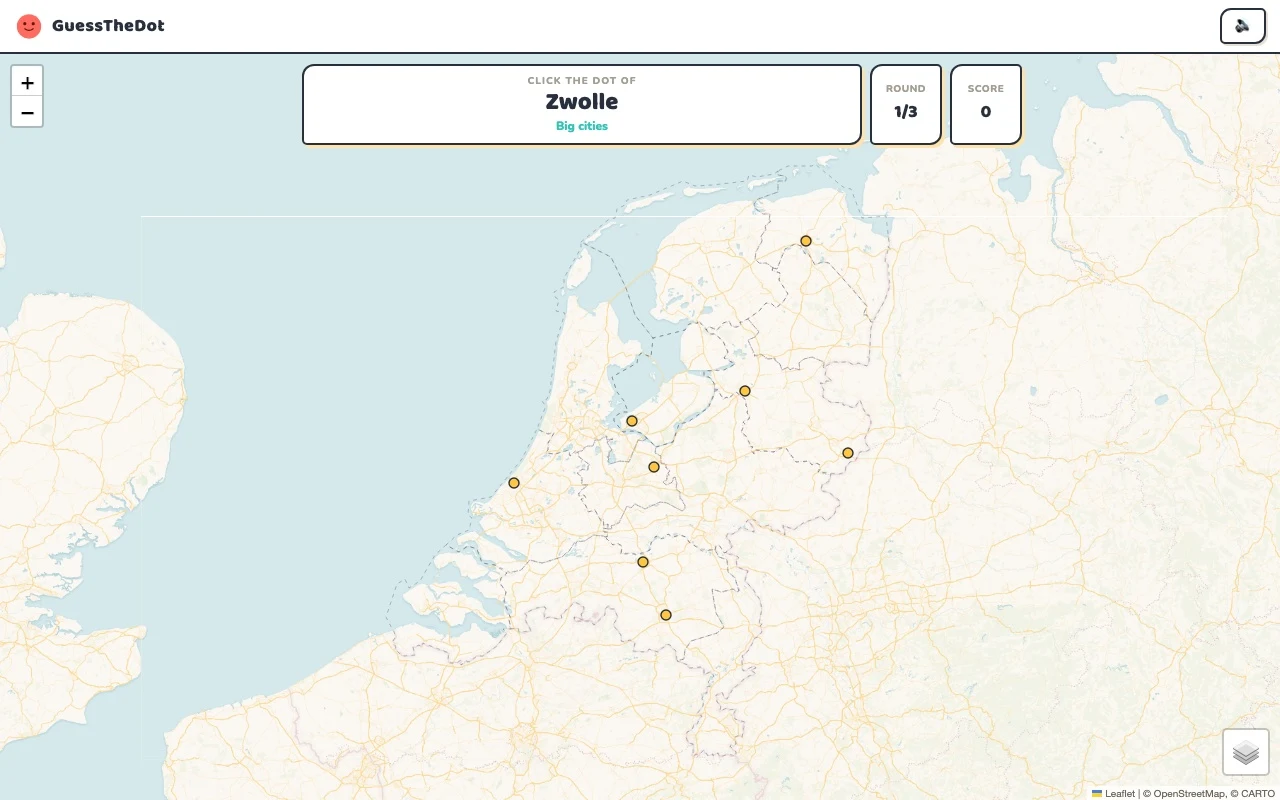
Three rounds. The real Netherlands game.
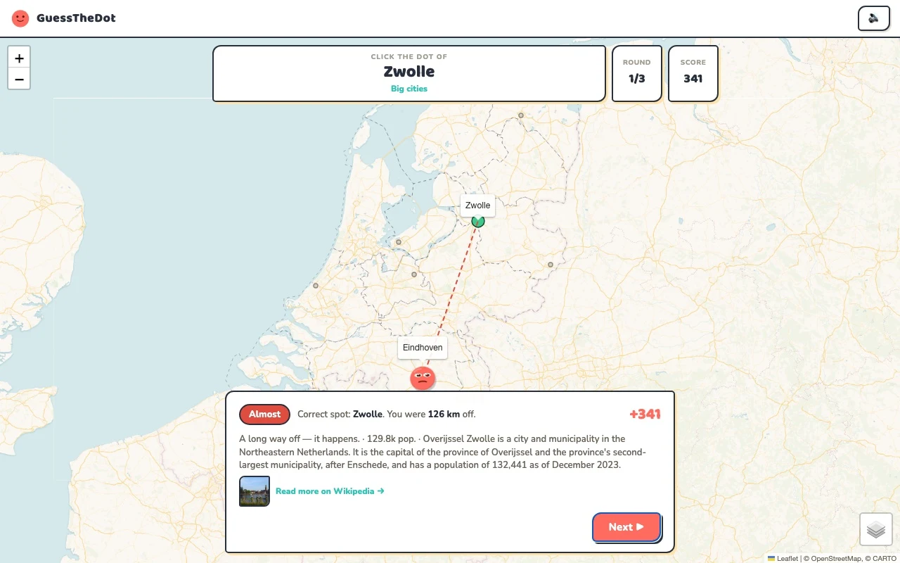
This is the actual GuessTheDot solo game, already set up for three big-city rounds in this country. Choose a map dot, see the real answer feedback and play the next round. Continue in the app when you want a full game.
Three rounds drawn from the country’s big-city dataset. No timer: take your time.
Play the real game3 rounds · no account
The actual map, dots and feedback. Preconfigured for three rounds.
Groningen is a northern anchor; Utrecht gives you a central one. For Giethoorn, first think Overijssel, then consider where within that province the dot should be. Dense Dutch geography rewards this second step: choosing roughly the right part of the country can still leave several plausible places nearby.
02
A village category is not a statement about city rights
Zierikzee is an example of why size and history are different. The game uses population bands to organise questions, while a place can have historic city rights. Look at the actual list for each category so you know which names can appear. We do not label the list as every village in the Netherlands.
03
Use landmarks beyond Amsterdam
The Rietveld Schröder House points you towards Utrecht; the Mauritshuis gives you The Hague. Sightseeing practice can widen the map beyond the best-known Amsterdam museums. For classroom use, select a topic and create a private game or homework set instead of treating a public ranking as a school assessment.
Existing in-game content
Start with places that anchor the map.
Groningen
Groningen
A northern city anchor.
53.219°, 6.567°
From the existing place guide
Groningen is een gemeente in de Nederlandse provincie Groningen, gecentreerd rond de stad Groningen. De gemeente had per 1 januari 2026 244.829 inwoners.
Utrecht is een stad en gemeente in Nederland en de hoofdstad van de provincie met dezelfde naam. Met 378.278 inwoners op 1 januari 2026 is Utrecht qua inwonertal de vierde gemeente van Nederland.
Giethoorn is een waterstreekdorp in de kop van Overijssel, in de gemeente Steenwijkerland in de Nederlandse provincie Overijssel en ligt tussen Steenwijk en Meppel.
The Rietveld Schröder House (also known as the Schröder House) in Utrecht (Prins Hendriklaan 50) was built in 1924 by Dutch architect Gerrit Rietveld for Mrs. Truus Schröder-Schräder and her three children. She commissioned the house to be designed preferably without walls.
The Mauritshuis (lit. 'Maurice House') is an art museum in The Hague, Netherlands. The museum houses the Royal Cabinet of Paintings which consists of 854 objects, mostly Dutch Golden Age paintings. The collection contains works by Johannes Vermeer, Rembrandt van Rijn, Jan Steen, Paulus Potter, Frans Hals, Jacob van Ruisdael, Hans Holbein the Younger, and others.
The Rijksmuseum is the national museum of the Netherlands dedicated to Dutch arts and history, located at the Museum Square in the borough of Amsterdam South, close to the Van Gogh Museum, the Stedelijk Museum Amsterdam, and the Royal Concertgebouw. The Rijksmuseum was founded in The Hague on 19 November 1798 and moved to Amsterdam in 1808, where it was first located in the Royal Palace and later in the Trippenhuis.
Guide extracts retain their source wording and may use a different language. Wikipedia/Wikivoyage text is available under CC BY-SA; Wikidata factual data is CC0. Individual source links are above.
Real answer feedback from the same country practice session.
Choose your next practice
Make the map more detailed.
The current dataset contains 1,416 place records and 390 distinct sightseeing names. These are dataset counts, not a claim to cover every settlement or attraction.
No. GuessTheDot uses its own playable place data. Teachers can choose practice topics, but the game does not claim to reproduce a particular textbook or school test.