More than Lisbon and Porto. Find your way through Portugal.
Use a north-south framework, then discover the towns between. Connect Coimbra, Palmela and familiar sights to mainland geography, with the islands treated separately.
The sample needs no account. This guide is in English; game languages vary.
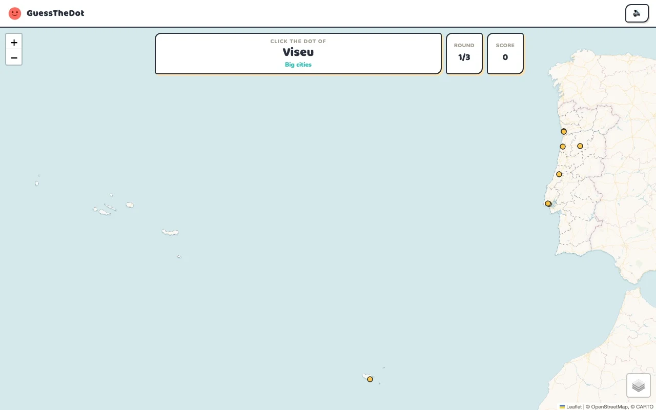
Actual Portugal gameplay. No mock-up.
Your learning route
Mainland north-south structure and island-aware practice
Portuguese town practice and travellers exploring beyond city breaks.
Short rounds. Immediate feedback.
The practice habit of Duolingo. The map challenge of GeoGuessr.
GuessTheDot brings those two ideas together: short, playful rounds that help you place real cities, villages and landmarks. One name, one map, immediate feedback.
What does each practice format offer?
Feature
GuessTheDotThe combination for geography
DuolingoLanguage lessons
GeoGuessrClassic
Short practice sessions
✓
✓
✓
Immediate answer feedback
✓
✓
✓
Geography map gameplay
✓
—
✓
Practise named cities and villages
✓
—
—
Infer locations from Street View
—
—
✓
Adaptive language lessons
—
✓
—
Free access and extras
Free demo and base game. Account for villages; Pro for extras.
Free language lessons; paid subscriptions for extras.
Limited free version; Pro for broader access.
On a small screen, scroll the table horizontally.
Practise cities and villages on the map.
Want to remember where a city or village is? Practise connecting its name to its location. Choose a country, start with big cities and build a more detailed mental map. GeoGuessr Classic suits discovering locations through street imagery; Duolingo suits practising languages.
About this comparison
The table compares Duolingo language lessons, GeoGuessr Classic and the current GuessTheDot map quiz. Other games or products from these companies are outside its scope. The combination describes the practice format; GuessTheDot does not offer an equivalent adaptive language curriculum or Street View game.
Guess the city. Guess the village. Place the landmark.
Three rounds. The real Portugal game.
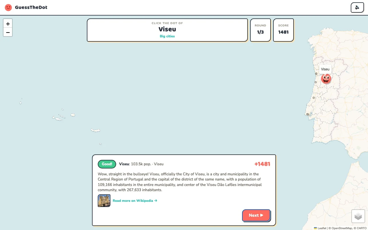
This is the actual GuessTheDot solo game, already set up for three big-city rounds in this country. Choose a map dot, see the real answer feedback and play the next round. Continue in the app when you want a full game.
Three rounds drawn from the country’s big-city dataset. No timer: take your time.
Play the real game3 rounds · no account
The actual map, dots and feedback. Preconfigured for three rounds.
Lisbon and Porto give a clear starting contrast. Add Coimbra before moving to smaller places, and ask whether the target is near the coast or further inland. The official tourism map also separates northern Portugal, the centre, Lisbon, Alentejo and Algarve; those travel regions are context, not necessarily the district labels stored in the game.
02
A smaller place is a new scale of knowledge
Palmela introduces a more local question around Setúbal. Connect it to the broad Lisbon-area framework, then choose its own location. Portuguese cidades, vilas and freguesias have local meanings that should not be flattened into a population rule: our categories organise gameplay rather than determine official status.
03
Do not compress the islands into the mainland
The Azores and Madeira are distinct map areas. This sample uses the mainland so the first three questions stay legible. The sightseeing data includes island landmarks, but a mainland mental map will not automatically answer those questions. Start a regional Vacation-mode game when you want to learn a destination more closely.
Existing in-game content
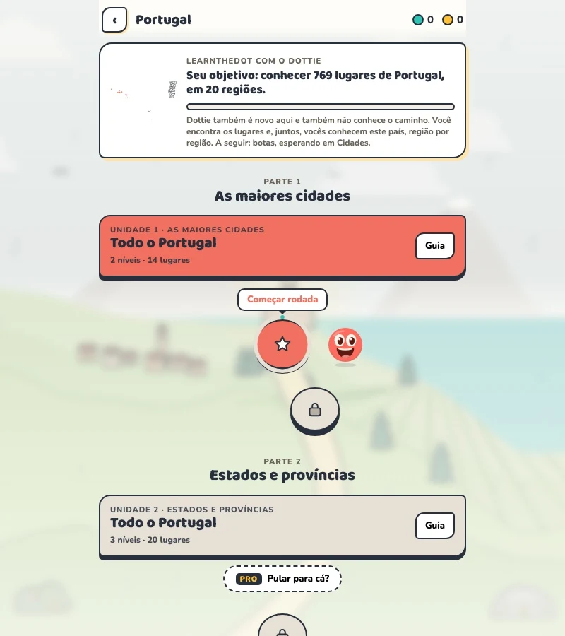
Start with places that anchor the map.
Lisbon
Lisbon
A western capital anchor.
38.725°, -9.150°
From the existing place guide
Lisbon ( LIZ-bən; Portuguese: Lisboa [liʒˈβoɐ] ) is the capital and most populous city of Portugal, with an estimated population of 658,236 as of 2025, within its administrative limits and 3,353,000 within the metropolis, as of 2025.
Coimbra é a cidade capital do Distrito de Coimbra, contando com 156 000 habitantes (2021) no seu perímetro urbano. Coimbra está inserida na sub-região Região de Coimbra (NUT III) e na Região do Centro (NUT II).
Palmela (Portuguese pronunciation: [palˈmɛlɐ] ) is a town and municipality in Portugal. As of 2011, the population was 62,831, covering an area of 465.12 km².
Belém Tower (literally: Bethlehem Tower), officially the Tower of Saint Vincent, is a 16th-century fortification located in Lisbon, Portugal, which served as a point of embarkation and disembarkation for Portuguese explorers and as a ceremonial gateway to Lisbon. The tower symbolizes Portugal's maritime and colonial power in early modern Europe.
The Vasco da Gama Bridge is a cable-stayed bridge flanked by viaducts that spans the Tagus River in Parque das Nações in Lisbon, the capital of Portugal. It is the second longest bridge in Europe, after the Crimean Bridge, and was the longest bridge for a while. It is also the longest bridge in the European Union.
Keep the Azores distinct from the mainland sample.
37.800°, -25.500°
From the existing place guide
São Miguel Island (Portuguese for 'Saint Michael'), nicknamed "The Green Island" (Ilha Verde), is the largest and most populous island in the Portuguese archipelago of the Azores. The island covers 760 km2 (290 sq mi) and has around 140,000 inhabitants, with 45,000 people residing in Ponta Delgada, the archipelago's largest city.
Guide extracts retain their source wording and may use a different language. Wikipedia/Wikivoyage text is available under CC BY-SA; Wikidata factual data is CC0. Individual source links are above.
Real answer feedback from the same country practice session.
Choose your next practice
Make the map more detailed.
The current dataset contains 769 place records and 459 distinct sightseeing names. These are dataset counts, not a claim to cover every settlement or attraction.
Does the introductory map include Madeira and the Azores?
No. It is labelled as a mainland sample. The game’s country and sightseeing data have wider coverage; check the category lists and regional choices for the places you want to practise.