The sample needs no account. This guide is in English; game languages vary.
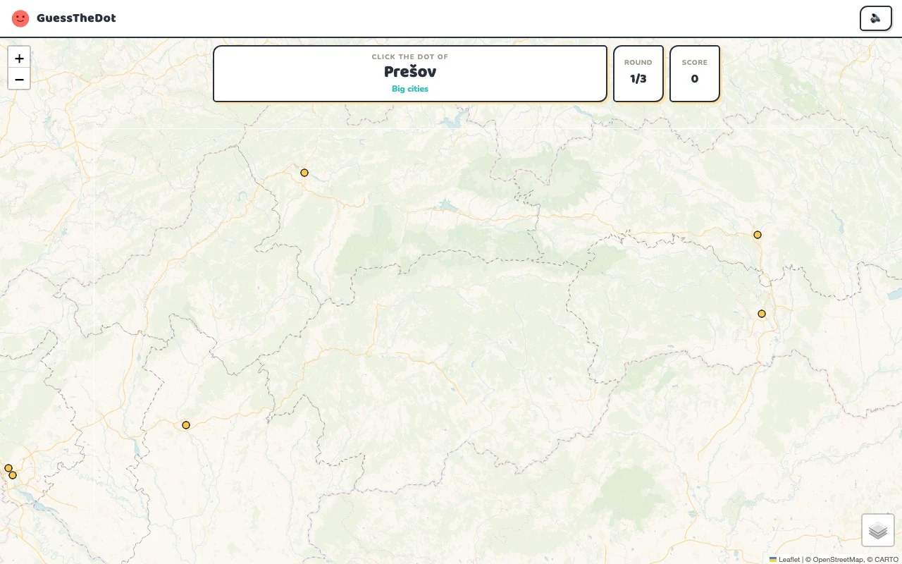
Actual Slovakia gameplay. No mock-up.
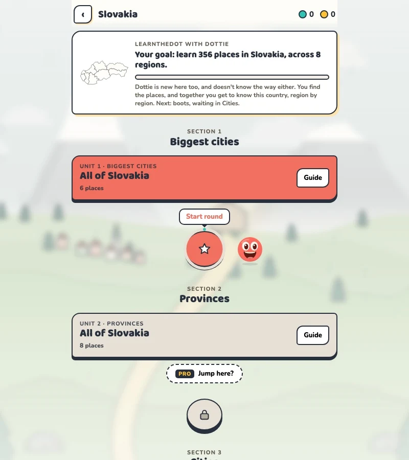
Your learning route
West/east orientation, regions and Tatra landmark boundaries
Slovak town recognition and cultural travel practice.
Short rounds. Immediate feedback.
The practice habit of Duolingo. The map challenge of GeoGuessr.
GuessTheDot brings those two ideas together: short, playful rounds that help you place real cities, villages and landmarks. One name, one map, immediate feedback.
What does each practice format offer?
Feature
GuessTheDotThe combination for geography
DuolingoLanguage lessons
GeoGuessrClassic
Short practice sessions
✓
✓
✓
Immediate answer feedback
✓
✓
✓
Geography map gameplay
✓
—
✓
Practise named cities and villages
✓
—
—
Infer locations from Street View
—
—
✓
Adaptive language lessons
—
✓
—
Free access and extras
Free demo and base game. Account for villages; Pro for extras.
Free language lessons; paid subscriptions for extras.
Limited free version; Pro for broader access.
On a small screen, scroll the table horizontally.
Practise cities and villages on the map.
Want to remember where a city or village is? Practise connecting its name to its location. Choose a country, start with big cities and build a more detailed mental map. GeoGuessr Classic suits discovering locations through street imagery; Duolingo suits practising languages.
About this comparison
The table compares Duolingo language lessons, GeoGuessr Classic and the current GuessTheDot map quiz. Other games or products from these companies are outside its scope. The combination describes the practice format; GuessTheDot does not offer an equivalent adaptive language curriculum or Street View game.
Guess the city. Guess the village. Place the landmark.
Three rounds. The real Slovakia game.
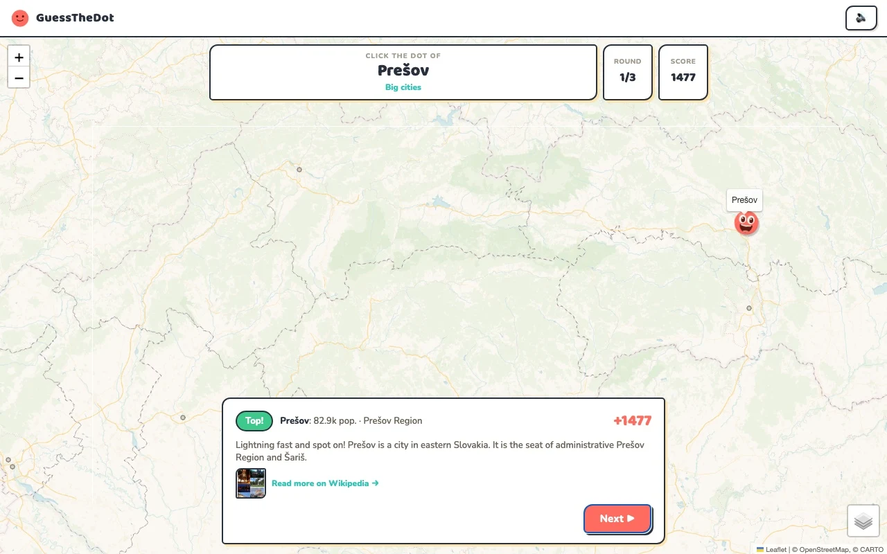
This is the actual GuessTheDot solo game, already set up for three big-city rounds in this country. Choose a map dot, see the real answer feedback and play the next round. Continue in the app when you want a full game.
Three rounds drawn from the country’s big-city dataset. No timer: take your time.
Play the real game3 rounds · no account
The actual map, dots and feedback. Preconfigured for three rounds.
Bratislava and Košice give you clear contrasting anchors. Add a central-city reference before moving to smaller localities. The first question is about broad position; later ones need a closer look. Distinguishing Slovakia from neighbouring Czechia is only the beginning of learning the map inside the country.
02
Keep diacritics and region clues together
Myjava introduces a smaller place in the Trenčín-region records. Recognise the name and use the region as a starting point, then choose the exact dot. The game’s categories group places for difficulty; they do not turn a Slovak mesto into a village simply because of its population band.
03
Use castles and mountains with accurate context
Spiš Castle offers an eastern landmark anchor beyond the capital. Tatra names can refer to peaks or landscapes near national boundaries, so a source record and coordinates are more informative than a single region tag. Start with clear examples, then use Vacation mode for a more local map of the sights you want to learn.
Existing in-game content
Start with places that anchor the map.
Bratislava Region
Bratislava
A western capital anchor.
48.148°, 17.107°
From the existing place guide
Bratislava ( slovenská výslovnosť, lat. Posonium, nem. Pressburg, maď. Pozsony, gr. Istropolis – Mesto na Dunaji; do 5.
Košice is the largest city in eastern Slovakia. It is situated on the river Hornád at the eastern reaches of the Slovak Ore Mountains, near the border with Hungary and Ukraine.
The ruins of Spiš Castle in eastern Slovakia form one of the six largest castle sites in Slovakia. The castle is situated above the town of Spišské Podhradie and the village of Žehra, in the region known as Spiš. It was included in the UNESCO list of World Heritage Sites in 1993 (together with the adjacent locations of Spišská Kapitula and Žehra).
Bratislava Castle is the main castle of Bratislava, the capital of Slovakia. The massive rectangular building with four corner towers stands on an isolated rocky hill of the Little Carpathians, directly above the Danube river, in the middle of Bratislava. Because of its size and location, it has been a dominant feature of the city for centuries. The location provides excellent views of Bratislava, Austria and, in clear weather, parts of Hungary.
A mountain reference for further sightseeing practice.
49.163°, 20.000°
From the existing place guide
Kriváň is a mountain in the High Tatras, Slovakia, that dominates the upper part of the former Liptov County. Multiple surveys among nature lovers have ranked it as the country's most beautiful peak. Readily accessible along maintained marked trails and with the exceptional vistas afforded from its summit, it is the hikers' favorite mountain in the western part of the High Tatras.
Guide extracts retain their source wording and may use a different language. Wikipedia/Wikivoyage text is available under CC BY-SA; Wikidata factual data is CC0. Individual source links are above.
Real answer feedback from the same country practice session.
Choose your next practice
Make the map more detailed.
The current dataset contains 356 place records and 430 distinct sightseeing names. These are dataset counts, not a claim to cover every settlement or attraction.